UAV Mapping &
3D Documentation
Solutions for construction, surveying, oil & gas, utilities, & more
Our Services

Geotechnical Consulting
Inspections & Testing

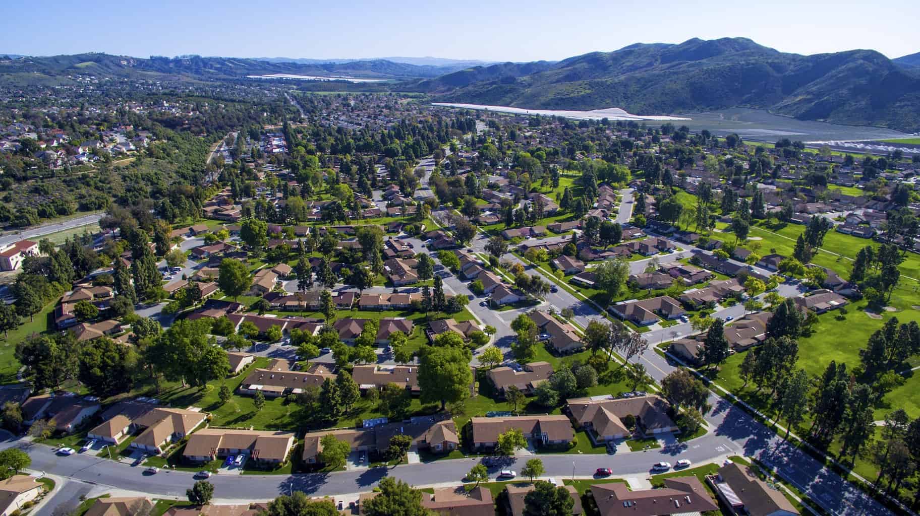
UAV Mapping & 3D Documentation
Barron & Associates, P.C., employs both UAV and 3D laser scanning technologies to accurately document sites for our clients. We have flown a myriad of missions, everything from soil stockpiles and 600 acre landfills to highways in Nepal. Incorporating ground control targets into our flight data allows us to multi-purpose our data, generating multiple deliverables from the same dataset. We are able to produce more for our client while saving them time and budget.
Laser scanning allows us to capture nearly 1,000,000 datapoints per second, creating a 3D pointcloud suitable for engineering purposes. Accurate to ½” at 300’, scanning allows us to quickly and safely document facilities where accurate drawings are missing. These pointclouds can then be imported into AutoCAD for modeling and design. Scanning eliminates the need to send personnel in the field to take measurements. Scanning has been shown to save between 5% and 9% on construction projects, mainly due to accurate designs resulting in shortened construction timeline.
Combining UAV and laser scan data gives our clients the ability to see their facility from all points of view. We have the ability to create a Virtual Reality environment of their site, allowing them to walk from their car in the parking lot to their desk on the 5th floor. This data can also be used for training and security purposes.
Below are just a few of the ways Barron & Associates, P.C. employs UAV and laser scan data:
- Georeferenced Orthoimagery
- Stockpile Volume Calculations
- Topographic Mapping
- Construction Progress Documentation
- 3D Modeling
- 3D and 4D Visualization
- Augmented and Virtual Reality
- Emergency Response
- Bridge and Asset Inspection
- Clash Detection
- Scan to BIM
- LiDAR and PhoDAR Pointcloud Integration
- Asset Management
- Historic Preservation
About this Service
At Barron & Associates, we utilize the latest technology in UAVs (unmanned aerial vehicles)—more commonly known as drones—to obtain accurate ground elevations. By using this technology we vastly reduce the time spent collecting accurate data. For large jobs that once took weeks can now be completed in just a few days. A week’s worth of traditional data collection is now achieved in just one day.
Common usage for geo-referenced images include engineering and planning, construction progress documentation, pipeline route feasibility study, verification utility route encroachments and G.I.S. environmental mapping. Common usages for an accurate elevation contour map (3D map) include engineering designs, draining studies, as-built documentation, environmental studies, and cut/fill, pay and material storage quantities.
Our professional-grade instruments, backed by our years of experience in aerial photography and mobile mapping, make Barron & Associates stand out from the competition. Please contact us today to learn how we can put our drone aerial mapping experience to work for you.
70%
Reduction in costs vs. traditional methods*
*Case studies available upon request